
Know the trail before you walk it
Find trails worldwide, see what condition they are in before you drive out, and navigate with maps that keep working after the signal stops.
Trail conditions
Find out it is a mudbath before you drive there
A trail that is perfect in June can be ankle-deep in November. People who walked it recently report back, and their reports show up on a live conditions map you can check the night before.
See the conditions map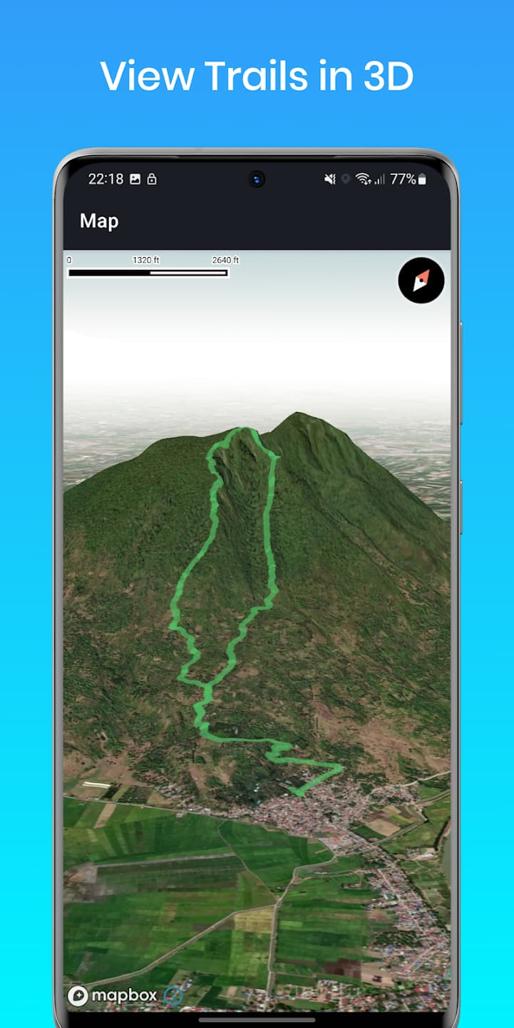
Route planning
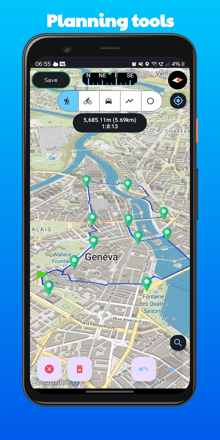
Draw a route, see every climb in it
Click along the map and the route snaps to real paths. The elevation profile updates as you go, so you know what you are signing up for before you leave the house. Drag any point to reshape it, then export a GPX or send it to your phone.
Open the plannerBuilt for where the signal stops
Plenty of apps will record where you went. This one is built for the part before that: real instruments, maps that do not need a network, and someone at home who can see where you are.
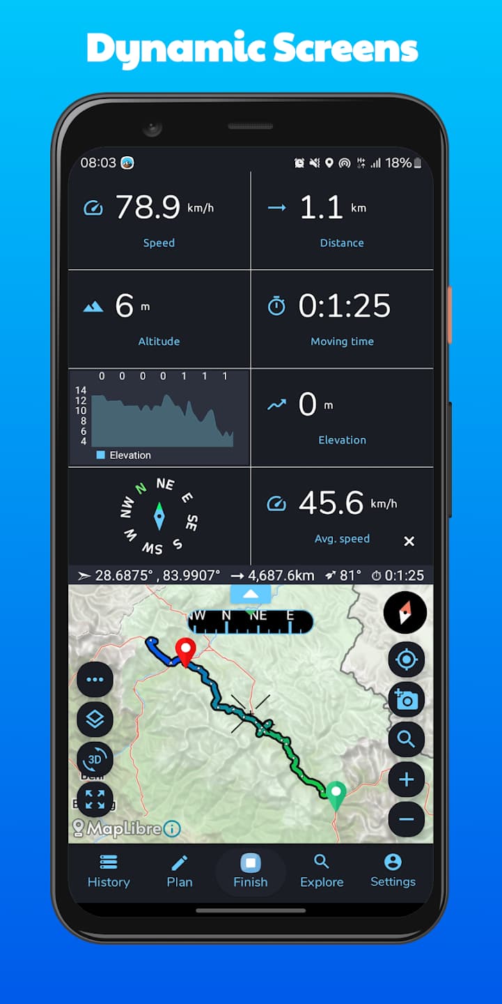
Instruments, not estimates
A dual-mode altimeter reads your height from GPS or from the barometer, and the compass calibrates in the field.
Offline topographic maps
Download a region before you go. Maps, turn-by-turn and recording all keep working with no connection.
Live location sharing
Send someone a link and they watch your progress in a browser. No account, no app install.
Turn-by-turn on the trail
Voice and visual guidance built for paths rather than roads, with an alert if you drift off route.
3D terrain and hillshading
Tilt the map to read the shape of a valley or a ridge instead of guessing from contour lines.
GPX in and out
Import routes from anywhere and export your own. Waypoints, elevation and timing survive the trip.
Your history, kept
Every recorded activity with distance, ascent and pace, so you can see progress over a season.
The map goes in your pocket
Plan on the web, then pick it up on the trail. Everything you save syncs to the app on iOS and Android.

Common questions
The things people ask before they sign up.
Is AltoTrails free?
Yes. Searching trails, viewing maps and recording your activities are free. Premium adds unlimited offline map downloads, route planning tools and extended live location sharing.
How is this different from other trail apps?
Most are built around recording a workout. This one is built around the navigating, which is why it has a dual-mode GPS and barometric altimeter, a compass you can calibrate in the field, and maps that work completely offline. If you only ever walk marked trails with a signal, you may not need any of that. If you do not, it is the whole point.
Do I need an account?
Not to look around. Searching trails, opening the map, checking conditions, planning a route and exporting it as GPX all work signed out. An account is only needed to save routes to your profile and sync them to the app.
Does it work without a signal?
Yes. Download the regions you need before you leave and navigation, maps and recording keep working with no connection at all.
Which activities does it cover?
Hiking, cycling, running, trekking, climbing and sailing. Trails are tagged by activity, so a technical mountain-bike descent never turns up in a search for a family walk.
Where do trail conditions come from?
From the community. People walking a trail report whether it is dry, wet or muddy, and those reports appear on the conditions map for everyone else.
Can I bring my routes from another app?
Import and export GPX files freely. Waypoints, elevation and timing are preserved in both directions, so nothing is locked in.
More answers in the Guidance Hub.
Pick somewhere and go
Search a region, filter by how far you want to walk, and see what is out there.
Explore the map